From above, New Orleans looks like a discussion about where land ends and water begins. The Mississippi makes a broad turn and the streets arrange themselves around it. You can make a diagram of this, though the river has been making its own arrangements for much longer.
On the ground, the directions change vocabulary: lakeside, riverside, uptown, downtown. It helps to know where the water is before anyone tells you where to go. A compass will still work, of course. You may simply be answering a different question.
And then there are swamp tours.
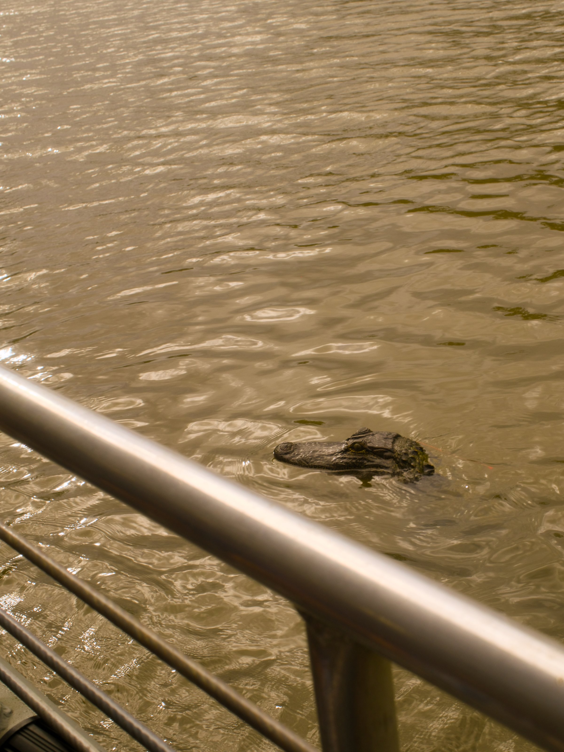
The trees stand in the water. Spanish moss hangs overhead. Something resembles a log until it begins to look ike an alligator. A swamp contains a great deal of information, most of it uninterested in being legible to a person in a boat. You could spend a long time looking at a small patch of it. Some of what looks still is alive; some of what looks like land is better approached as water.
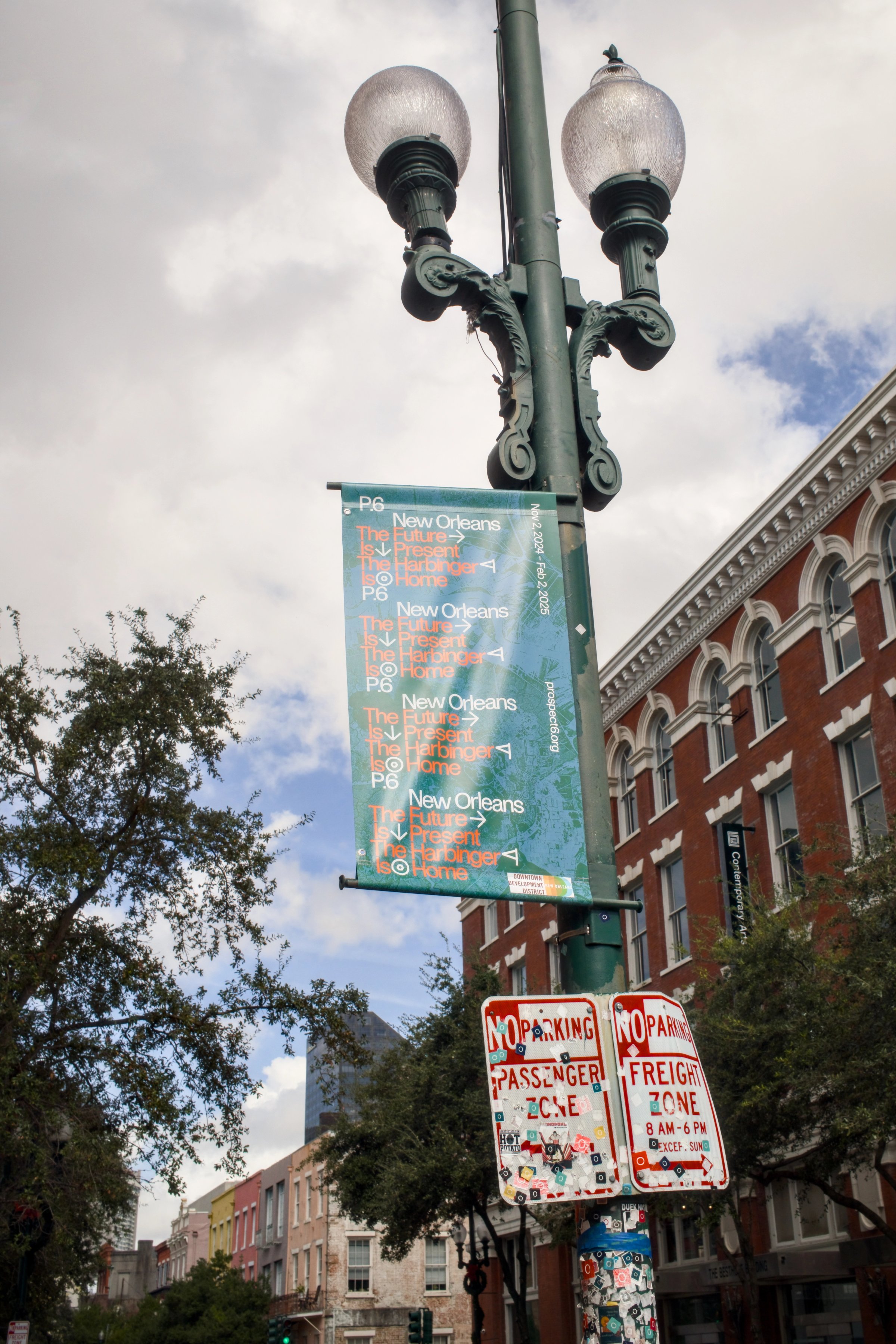
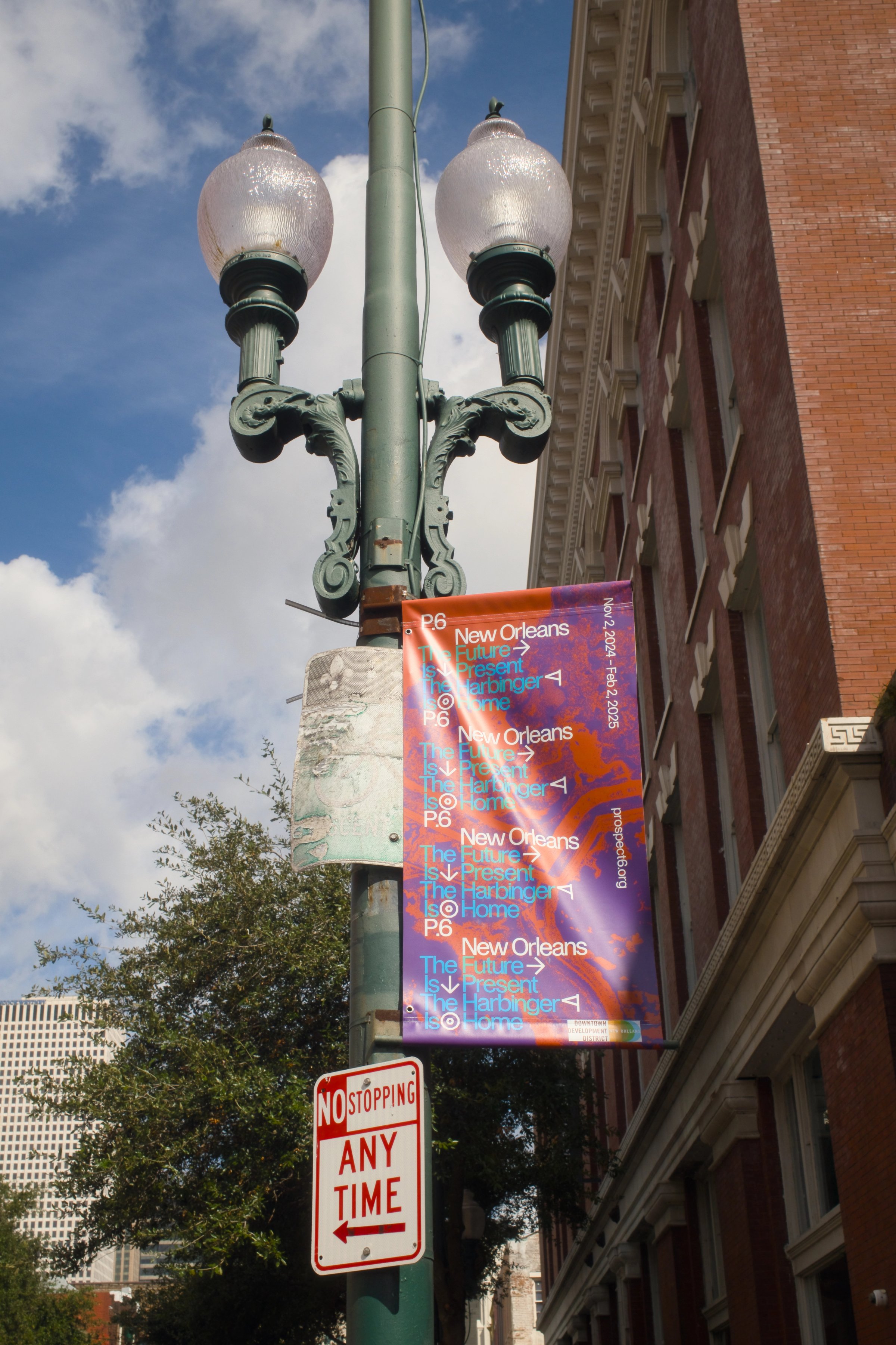
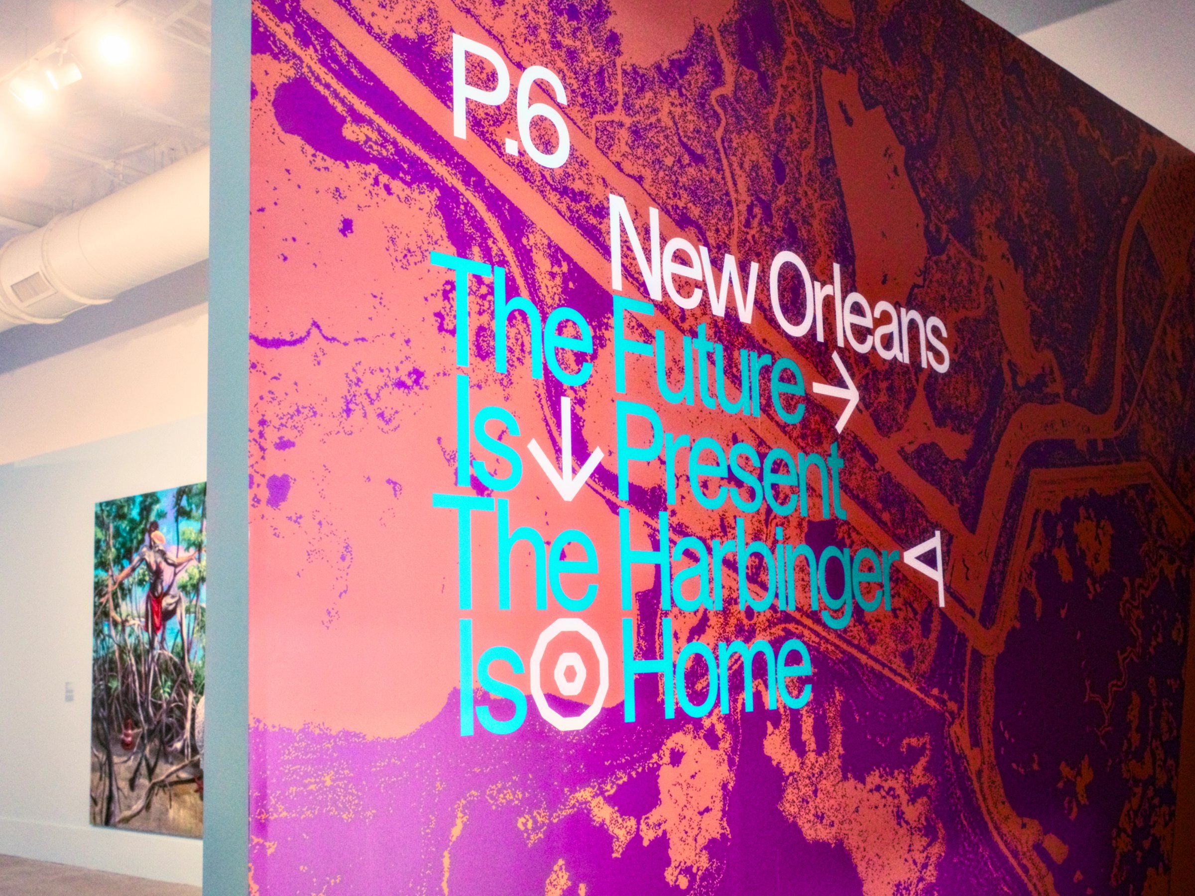
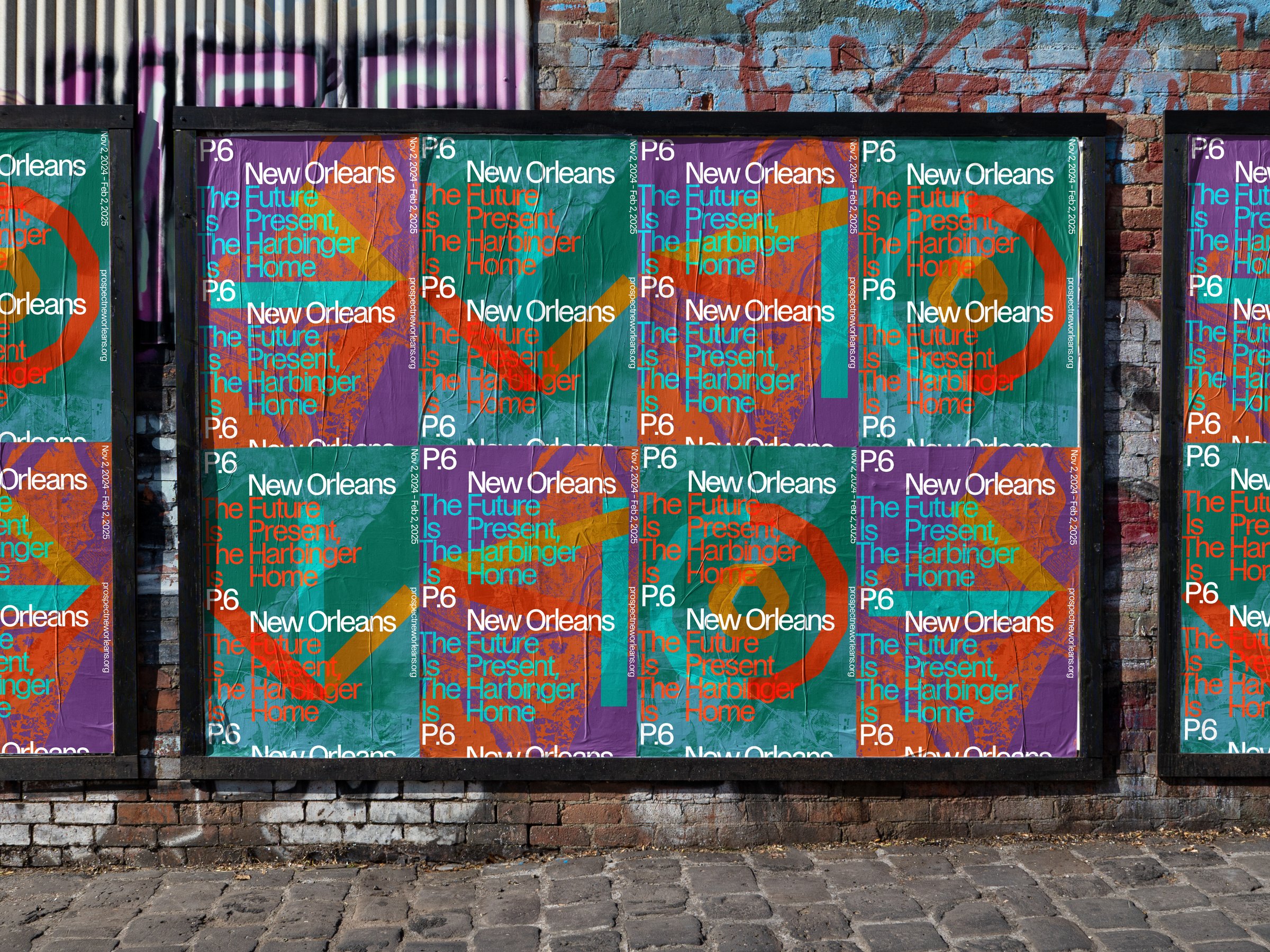
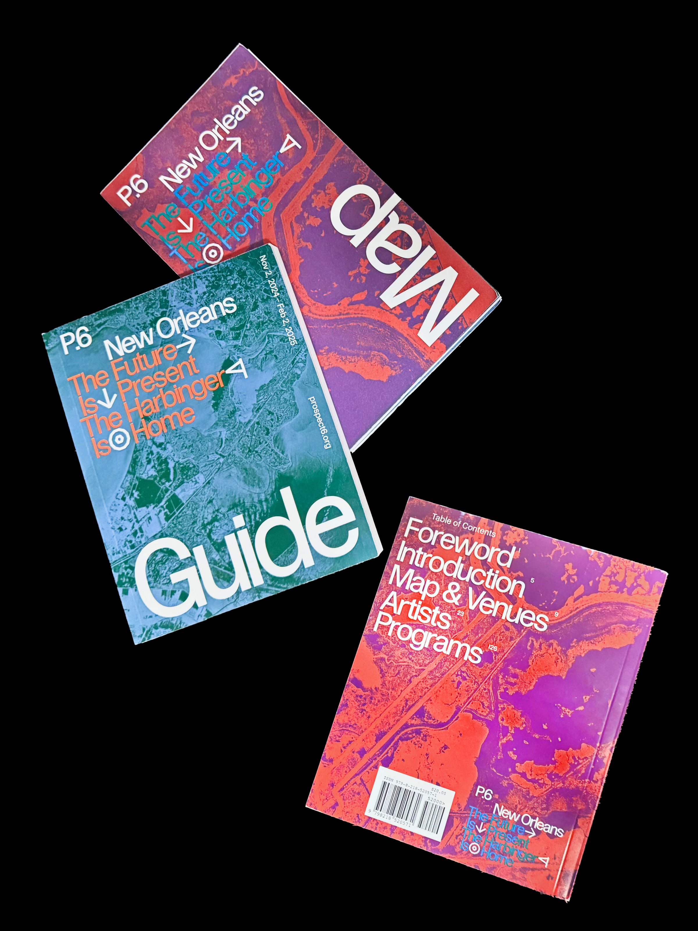
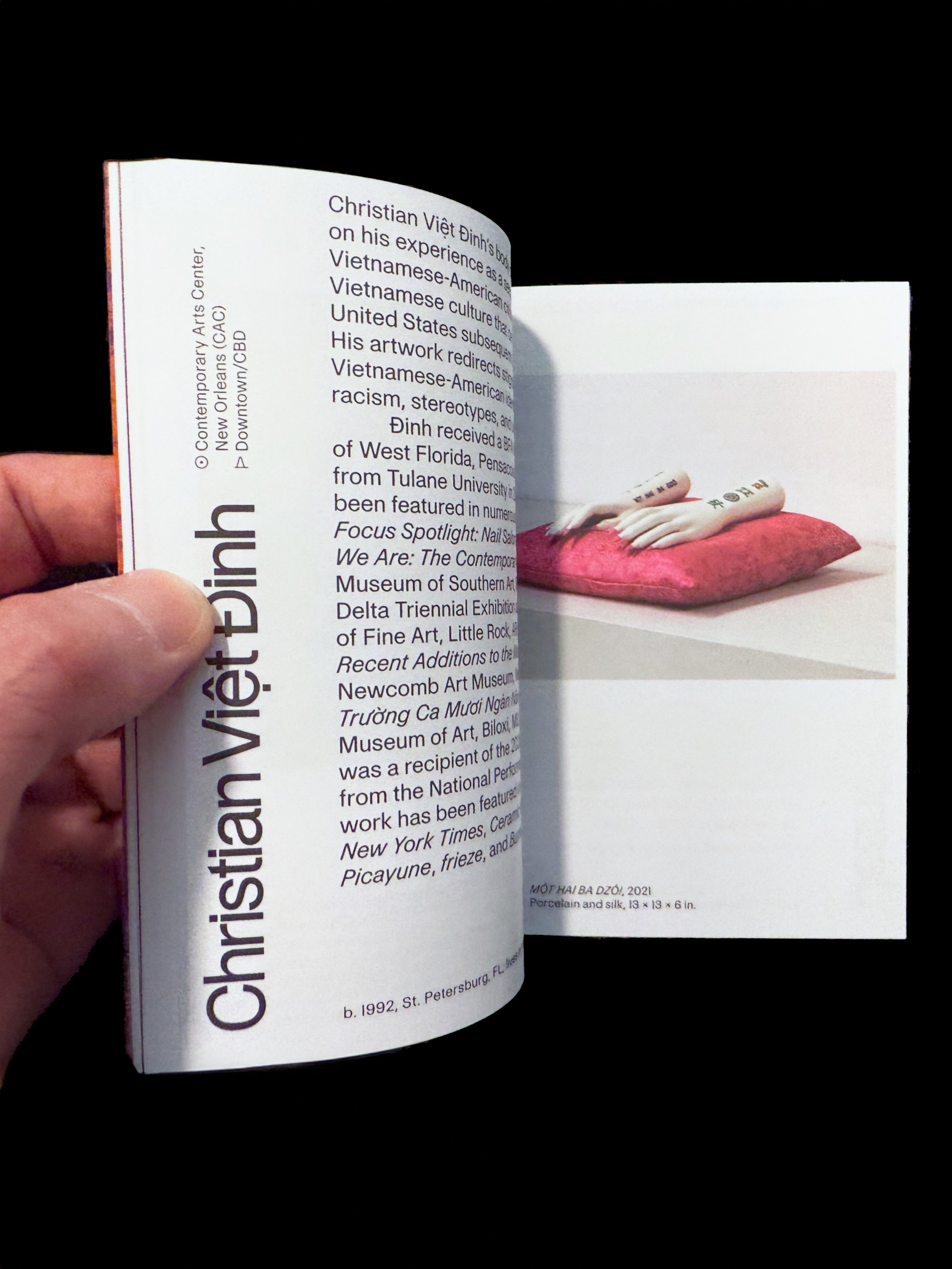
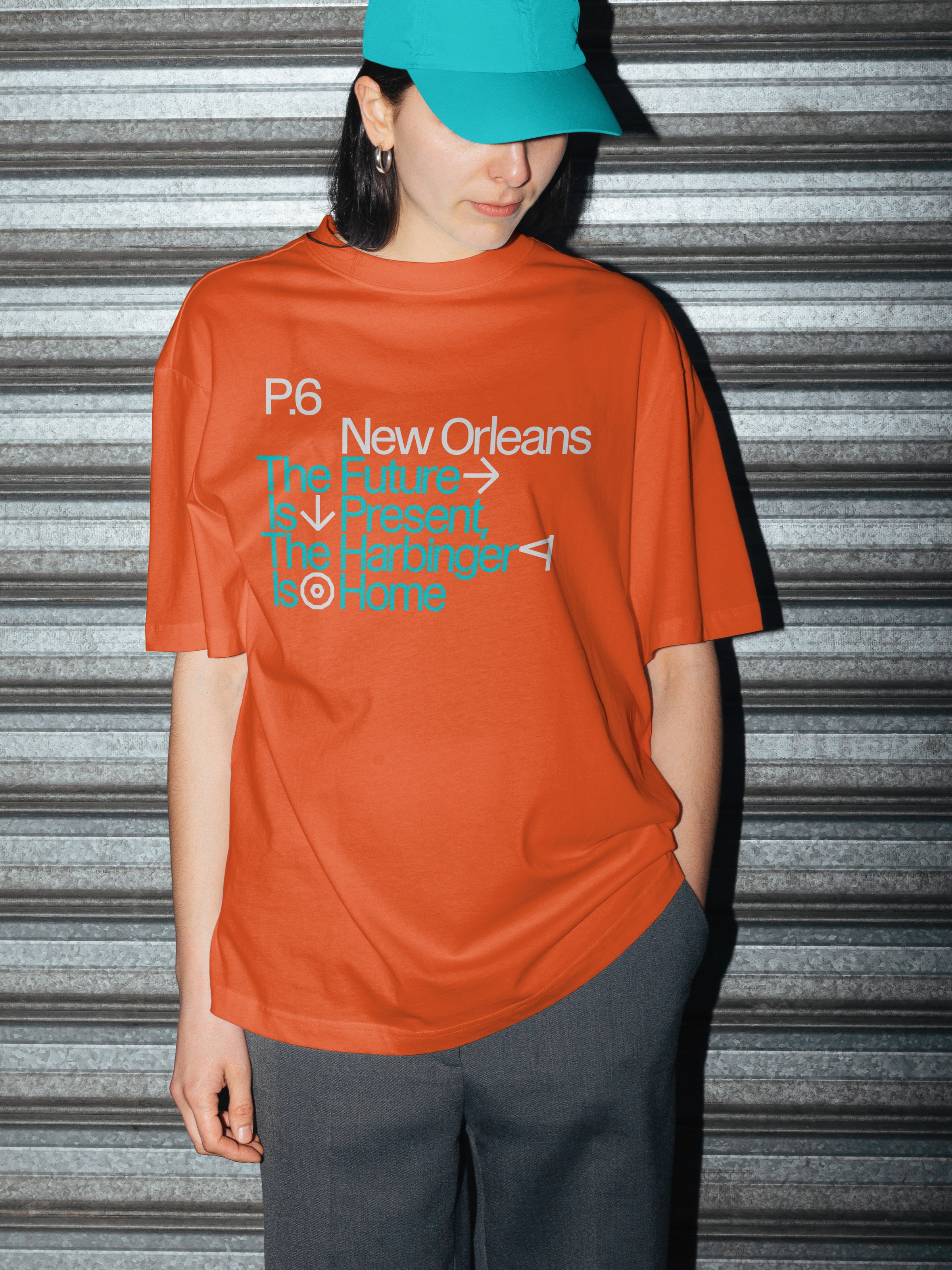
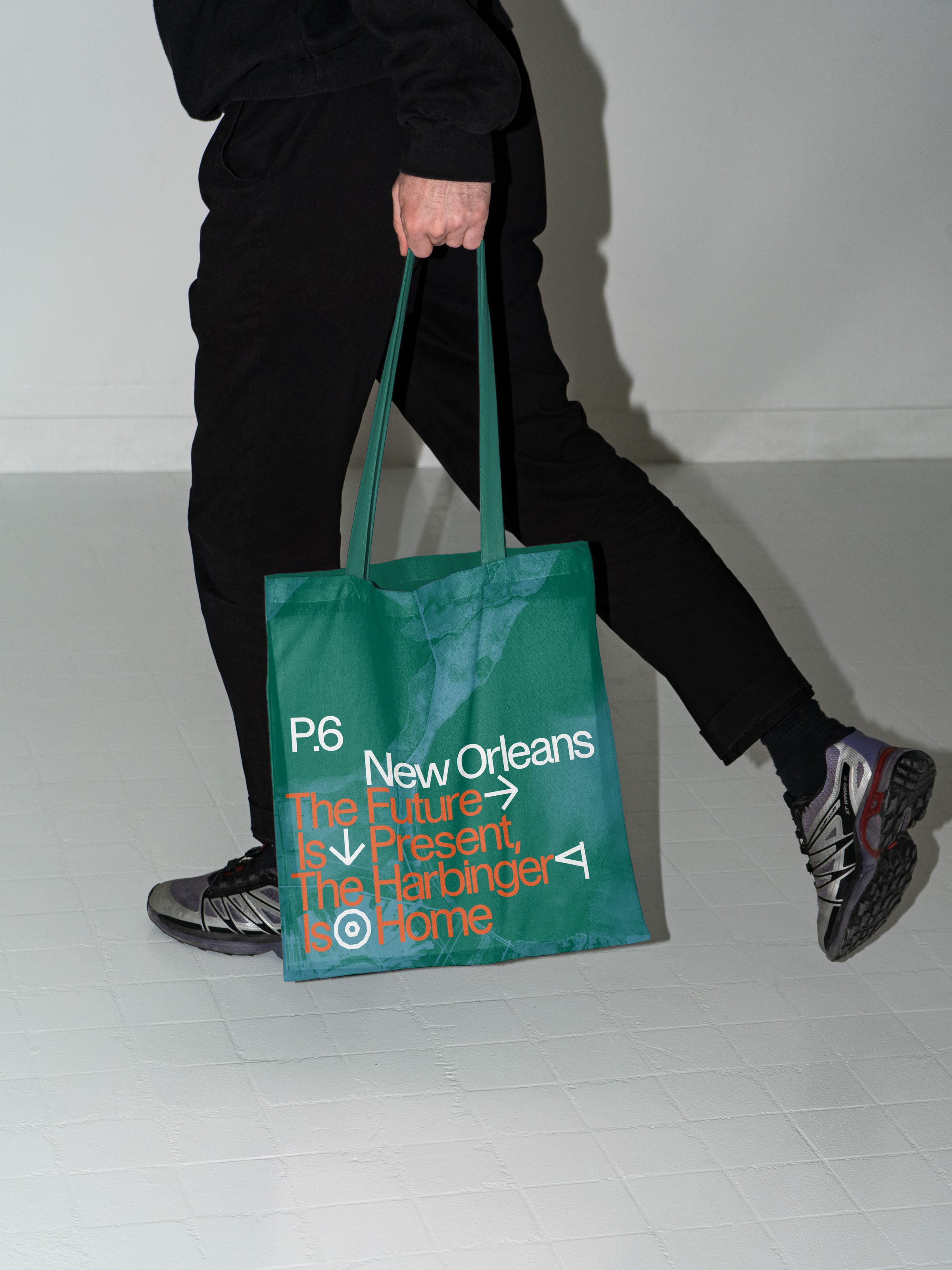
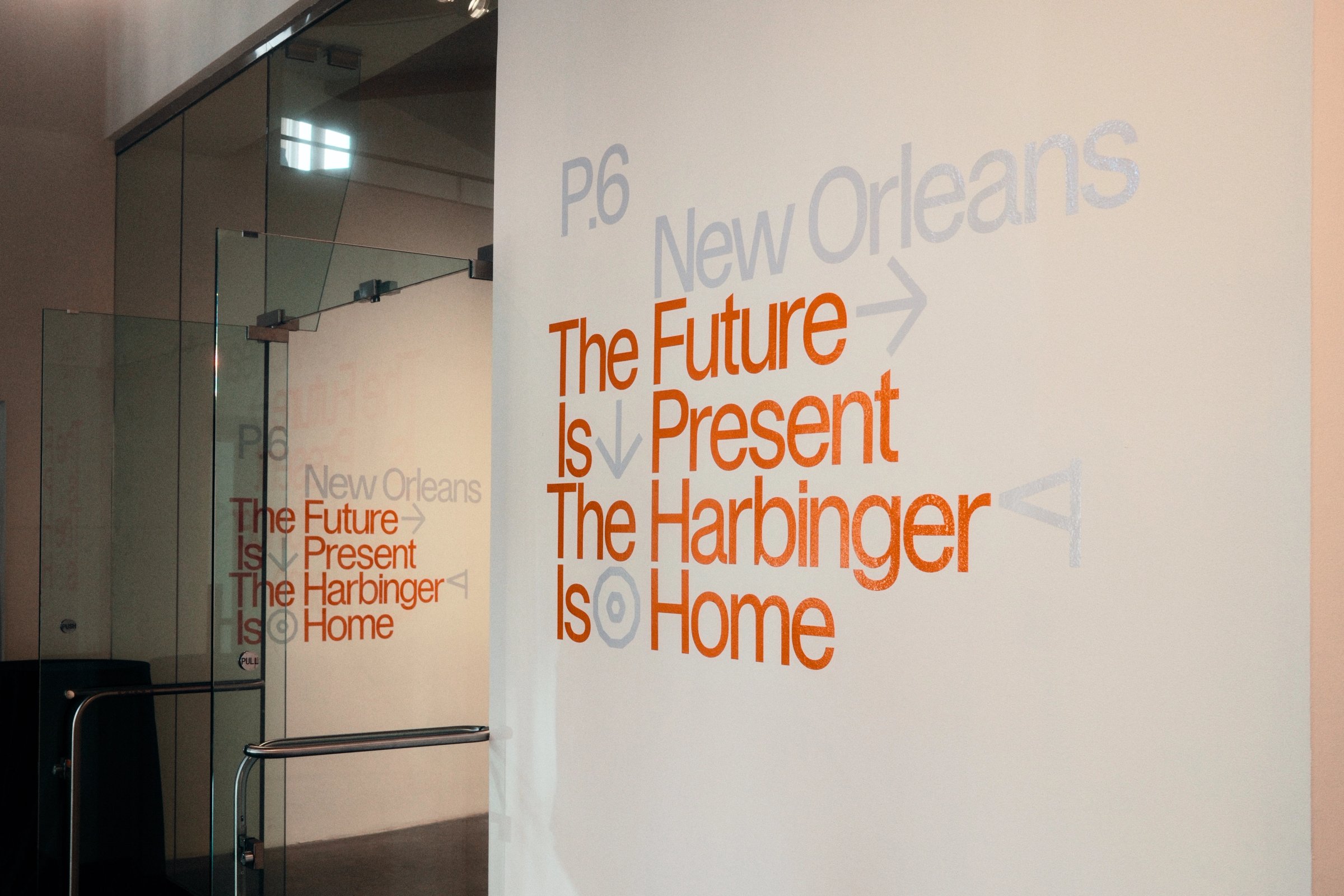
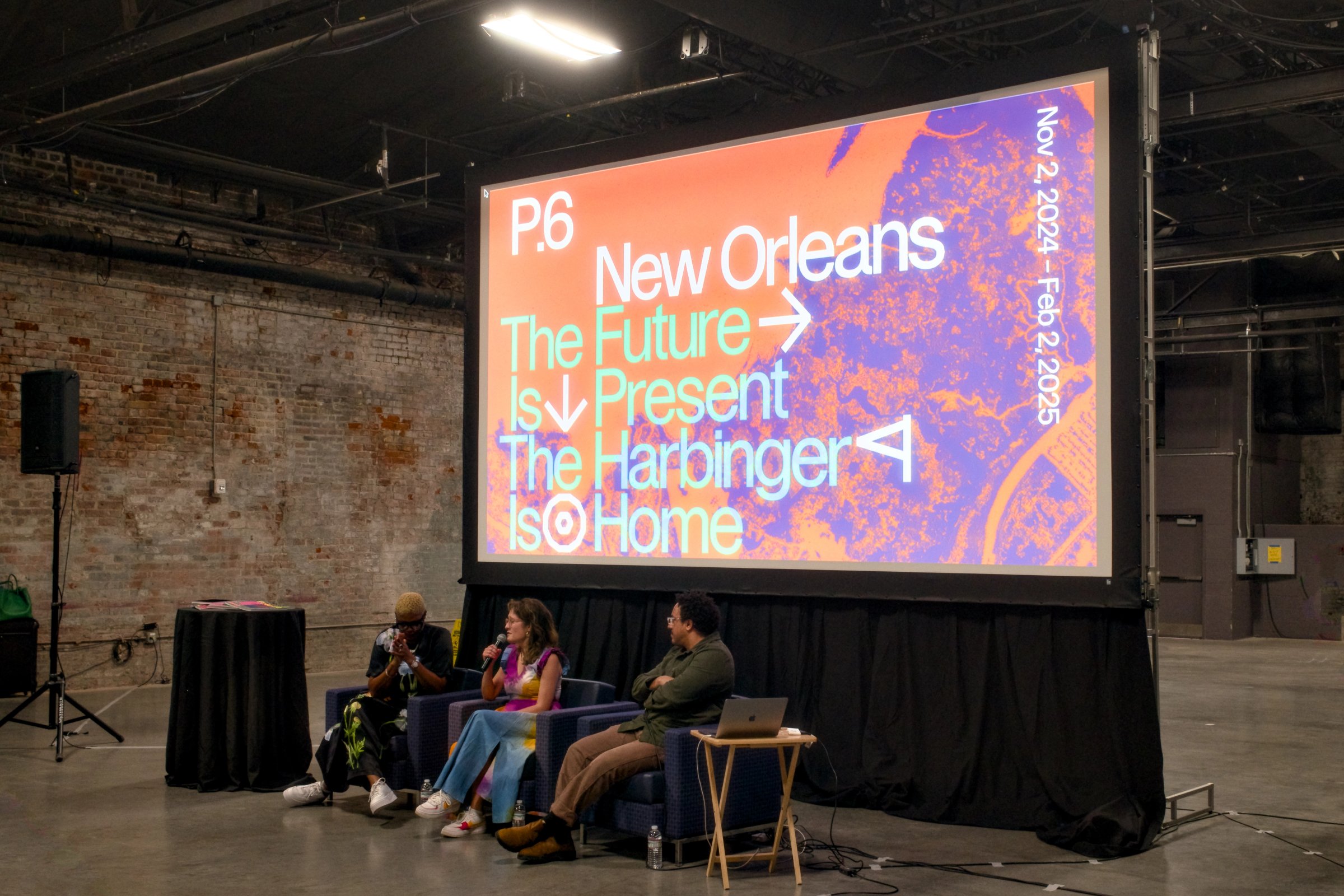
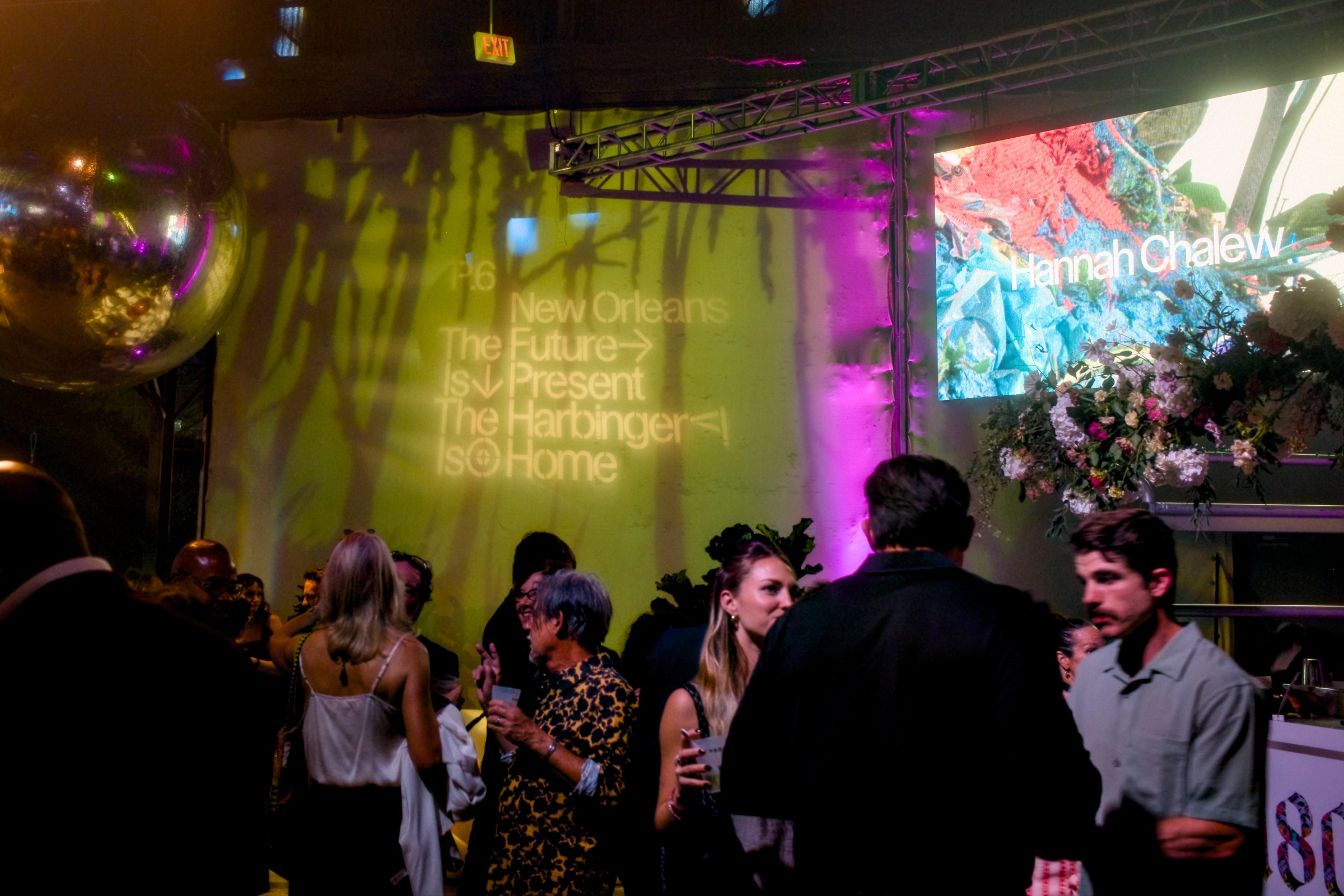
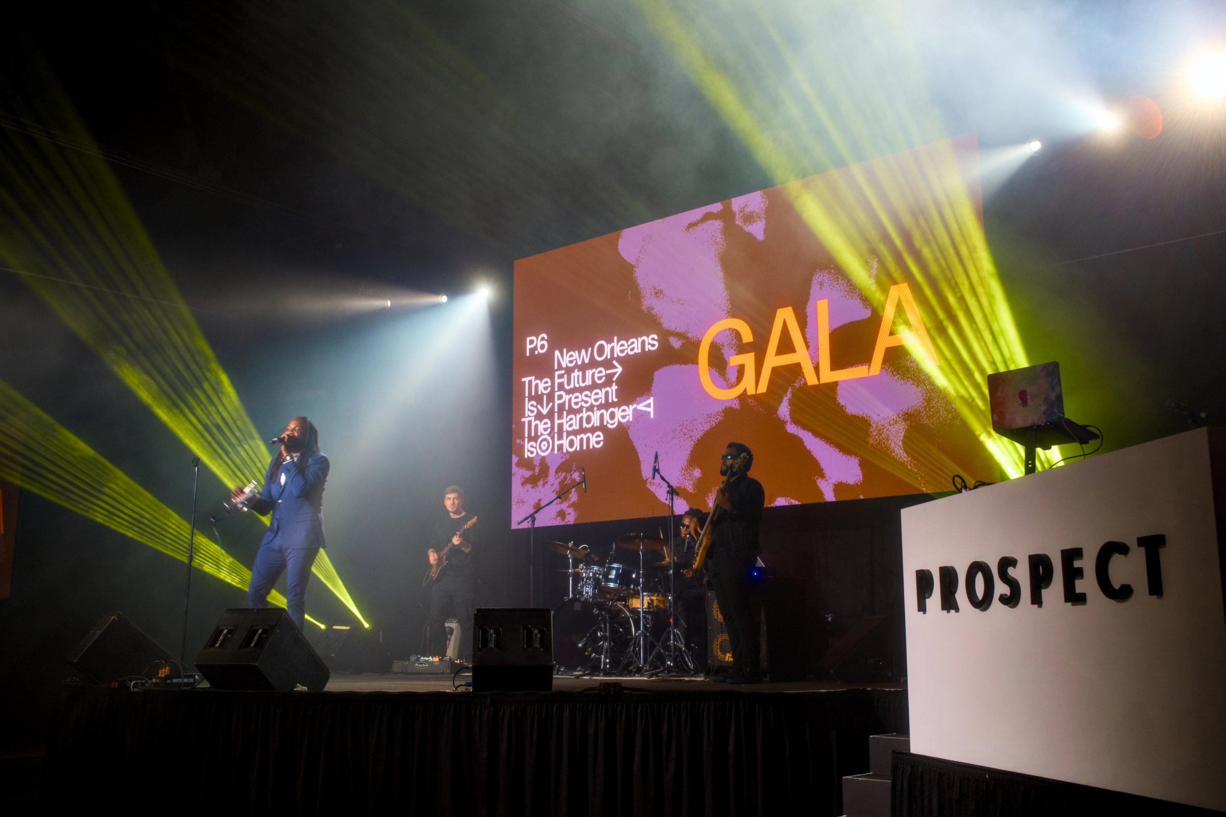
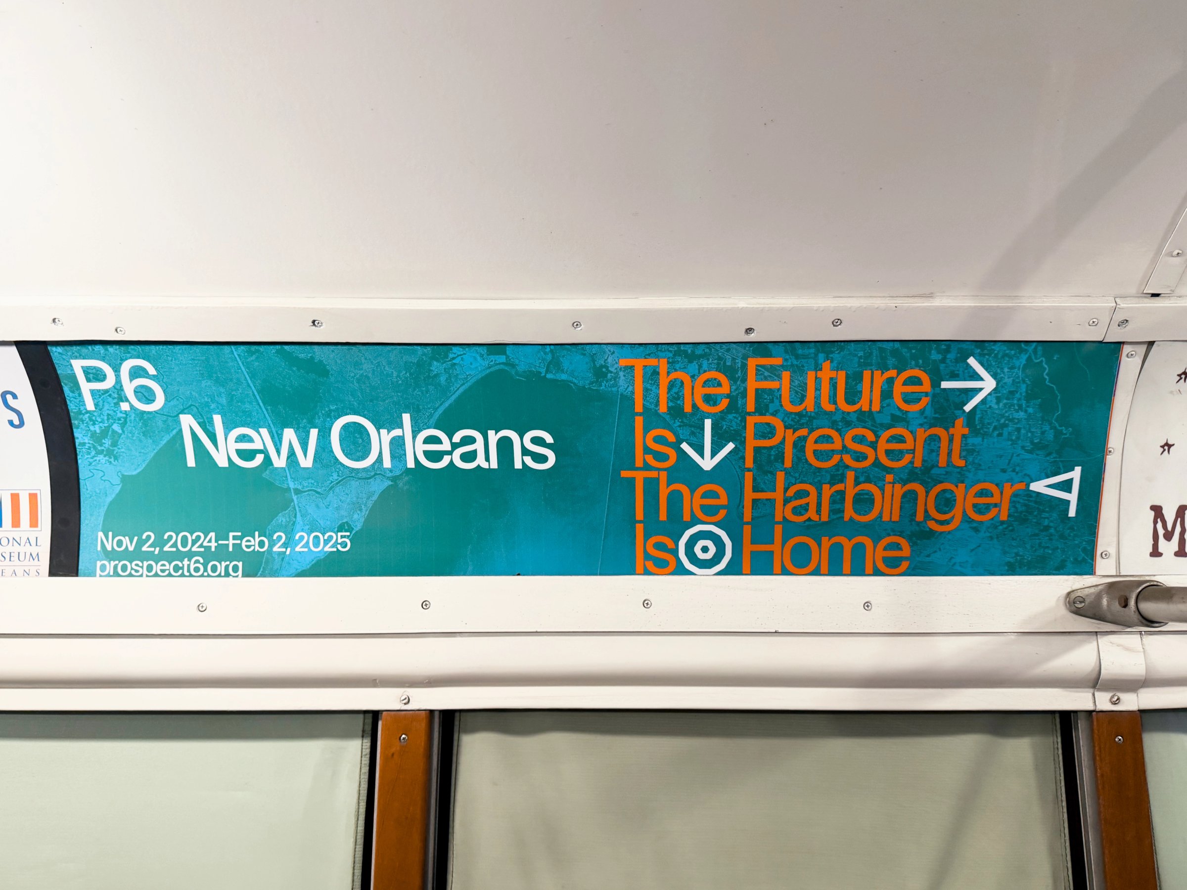
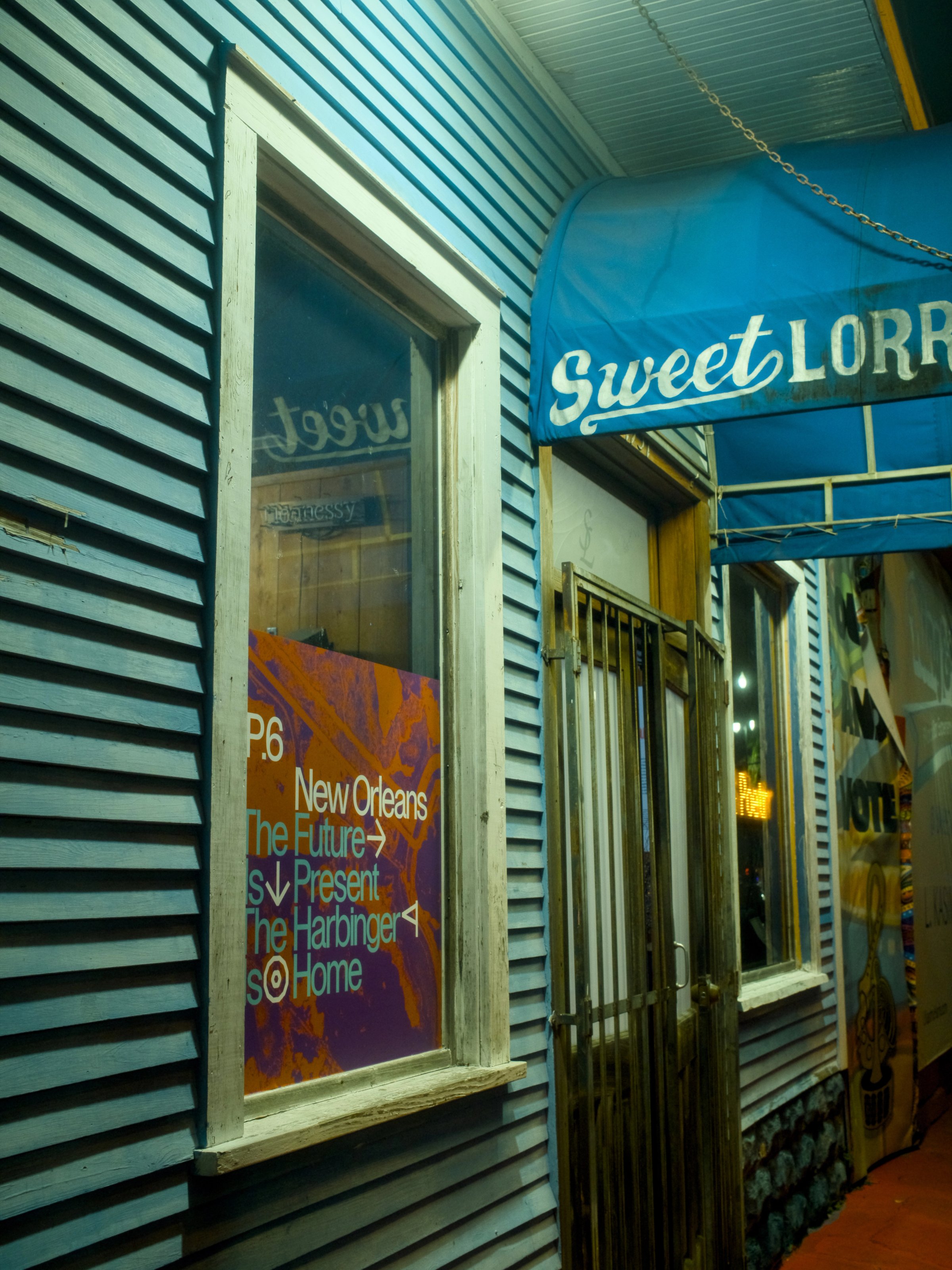
Prospect New Orleans is an art triennial spread across the city’s galleries and public spaces. For P.6, we used vividly colored aerial views of New Orleans across the identity, including street banners, a guidebook, and a map. The city seen from above, distributed through the city below. There is also a photograph of a swamp tour here, at the end.